The app
rgSpatial. Serious GIS, in a browser tab.
A complete GIS workspace that opens like a web page and works like desktop software — without sending your data to a server.
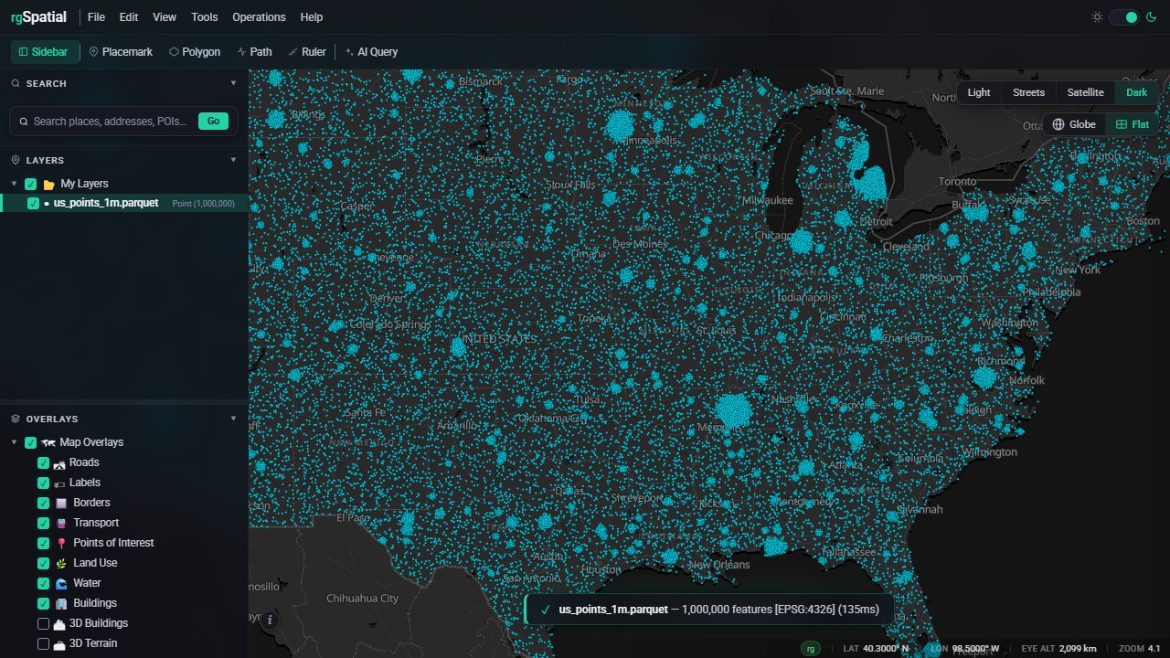
A complete GIS workspace that opens like a web page and works like desktop software — without sending your data to a server.
Shapefile, FileGDB, GeoParquet, GeoPackage, KML, GeoJSON, CSV, Excel, and more.
Style, classify, label, filter, explore in 2D or globe view.
Buffers, unions, spatial joins, dissolves, overlays, SQL, and AI-assisted workflows across millions of features.
Take the results back into the formats and tools your team already uses.
rgSpatial brings our high-performance Rust I/O and spatial engine directly into the browser through 64-bit, multithreaded WebAssembly.
Real screen recordings, unedited. Click to play.